

SKU: 9781922668011PLU: 150730UPC/EAN: 9781922668011
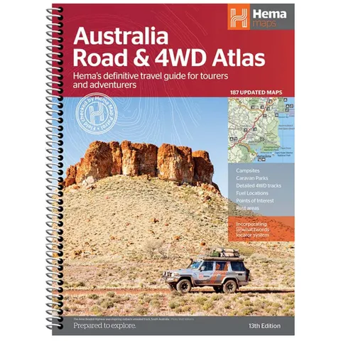
Hema Australia 4WD Road and 4WD Atlas (spiral bound) - 13th Edition
or pay nothing today with

- Delivery
- In-Store
- Click & Collect
- description. press to scroll to the description section.
- features. press to scroll to the features section.
- specifications. press to scroll to the specifications section.
- reviews. press to scroll to the reviews section.
description
Featuring trusted Hema mapping for all of Australia, the Hema Road & 4WD Atlas is the definitive travel guide for tourers and adventurers. Hema atlases feature more information useful to travellers, including 4WD tracks, campsites, caravan parks, rest areas, 24-hour fuel and points of interest.
This edition contains more mapping than ever before, which is enhanced by a striking new cartographic style that's incredibly easy to read. Included in this is up-to-date mapping for Australia's biggest 4WD destinations: Cape York, Fraser Island, the Top End, the Kimberley, the Pilbara, Central Australia, High Country Victoria and the Flinders Ranges.
A handy distance grid, national park guide, list of accredited information centres and a complete index are also included to assist with trip planning and navigation, making it the perfect tool for guiding tourers, campers, road trippers and off-roaders throughout Australia.
features
- Detailed 4WD tracks
- Fuel
- Points of interest
- National parks
- Campsites
- Caravan parks
- Rest areas
- Road distances
- Fully indexed
specifications
Edition: 13
Publication Date: 31/01/22
Dimensions: 34.5 x 25.2 x 1.5cm
Page Count: 224 pages
Publisher: Hema Maps
Weight: 1.5kg