

SKU: 9321438001720PLU: 148622UPC/EAN: 9321438001720
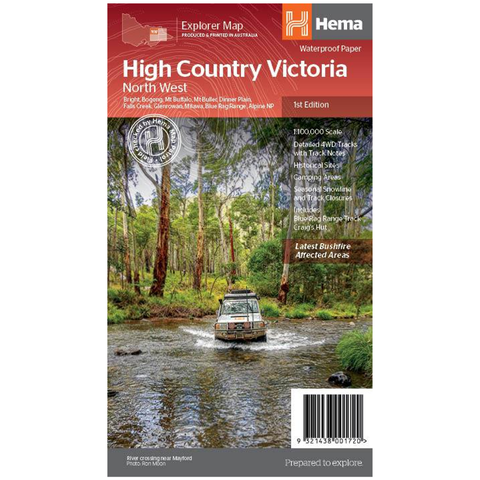
Hema High Country Victoria - North West Map - 1st Edition
$9.99
Save $5.96 (37%)RRP $15.95
Removed from Wishlist
or pay nothing today with

- Delivery
- In-Store
- Click & Collect
- description. press to scroll to the description section.
- features. press to scroll to the features section.
- specifications. press to scroll to the specifications section.
- warranty. press to scroll to the warranty section.
- reviews. press to scroll to the reviews section.
description
This map is part of Hema's new Victorian High Country Map Series and covers the North-Western Alps Area including Hotham, Wangaratta, and surrounds. Printed on durable waterproof paper, this map features Hema's iconic mapping and extensive points of interest. Featuring roads and 4WD tracks field-checked by the Hema Map Patrol for superior accuracy.
It combines Hema’s entire database of roads and 4WD tracks with touring points of interest and topographic information. Also included are seasonal track closures, camping areas, old townsites, huts, accommodation, and distances.
features
- 4WD tracks
- Huts
- Camping areas
- Old townsites
- Seasonal track closures
- Road distances
- Accommodation
specifications
- Edition: 1st
- Publication Date: 15/10/20
- Scale: 1:100,000
- Folded size (WxHxD): 140mm x 250mm x 3mm
- Flat size (WxH): 700mm x 1000mm
- Weight: 0.09kgs
warranty
12 Months Warranty