

SKU: 9781923354043PLU: 156262UPC/EAN: 9781923354043
Hema High Country Victoria - North West Map - 2nd Edition
$15.95
Removed from Wishlist
or pay nothing today with

- Delivery
- In-Store
- Click & Collect
- description. press to scroll to the description section.
- features. press to scroll to the features section.
- specifications. press to scroll to the specifications section.
- reviews. press to scroll to the reviews section.
description
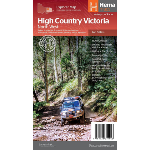
The Victorian High Country – North Western Map is an essential navigation companion for exploring one of Australia's most iconic alpine regions. Featuring detailed topographic mapping, it covers the rugged north-western section of the Victorian High Country, renowned for its challenging 4WD tracks, historic huts, mountain peaks, and spectacular scenery.
Whether you're planning a weekend getaway or an extended offroad adventure, this map provides the reliable detail needed to confidently navigate remote tracks and discover the area's many natural and historic attractions.
features
- Detailed 4WD tracks with notes
- Historical sites & old townsites
- Camping areas & huts
- Road distances
- Seasonal snowline and track closures
- Accommodation
- Tracks include; Blue Rag Range Track & Craigs Hut
- Latest bushfire affected areas.
specifications
| Folded Size: (L x W x H) | 250 x 140 x 3mm |
| Flat Size: (L x W) | 1000 x 700mm |
| Weight: | 6.8g |
| Edition: | 2nd |
| Publication Date: | 17/02/2026 |
| Scale: | 1:100,000 |
| ISBN: | 9781923354043 |