

SKU: 9321438001508PLU: 146686UPC/EAN: 9321438001508
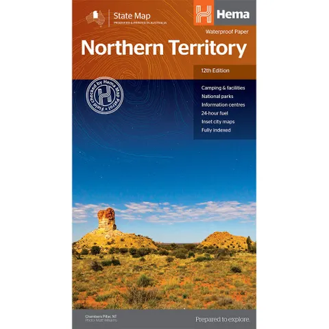
Hema Northern Territory State Map - Edition 12
$15.95
Removed from Wishlist
or pay nothing today with

- Delivery
- In-Store
- Click & Collect
- description. press to scroll to the description section.
- features. press to scroll to the features section.
- specifications. press to scroll to the specifications section.
- warranty. press to scroll to the warranty section.
- reviews. press to scroll to the reviews section.
description
A touring map of the Northern Territory that has camping and rest areas, 24hour fuel and points of interest marked on the mapping. On the reverse are CBD maps of Darwin and Alice Springs, a map of the greater Darwin region and maps of Yulara, Uluru and Kata Tjuta with walking tracks, points of interest and accommodation included. For trip planning, there is a national park matrix and contact details for information centres.
features
- GPS surveyed roads and tracks
- Fuel stops 4WD tracks
- Camping areas
- Historic sites
- Detailed inset maps
- Waterproof/Durable paper
specifications
Edition: 12th
Publication Date: 28/10/19
Scale: 1:1,800,000
Folded size (WxHxD): 140mm X 250mm x 3mm
Flat size (WxH): 700mm X 1000mm
Weight: 0.09kgs
warranty
12 month manufacturer's warranty.