

SKU: 9781925625967PLU: 150620UPC/EAN: 9781925625967
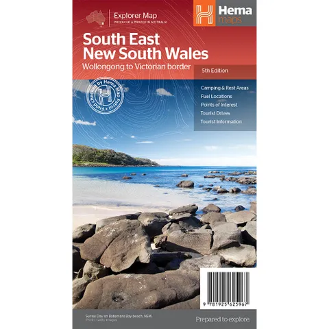
Hema South East New South Wales Map (Wollongong - Vic Border)
$15.95
Removed from Wishlist
or pay nothing today with

- Delivery
- In-Store
- Click & Collect
- description. press to scroll to the description section.
- features. press to scroll to the features section.
- specifications. press to scroll to the specifications section.
- reviews. press to scroll to the reviews section.
description
A regional map of South East New South Wales (1:385,000) that ranges from Wollongong down to the Victoria border and out to Gundagai and past Jindabyne in the West. Covered regions in the map include Illawarra, Jervis Bay & Shoalhaven, Batemans Bay, Canberra & surrounds, Merimbula & Sapphire Coast, Southern Highlands, Goulburn Region and the Snowy Mountains. On the opposite side is extensive information on numerous regions, including visitor, historical and background information.
features
- Comprehensive map of South East New South Wales
- Camping & rest areas
- Fuel locations
- Tourist drives
- Detailed National Park listing with facilities
- Tourist information centres
specifications
Edition: 5th
Pubilcation Date: 12/03/2014
Scale: 1:385,000
Folded Size: 14 x 25 x 0.3cm
Open Size: 70 x 100cm
Weight: 0.09kg