

SKU: 9781925625745PLU: 141283UPC/EAN: 9781925625745
Hema The Red Centre Map - Edition 7
$15.95
Removed from Wishlist
or pay nothing today with

- Delivery
- In-Store
- Click & Collect
- description. press to scroll to the description section.
- features. press to scroll to the features section.
- specifications. press to scroll to the specifications section.
- reviews. press to scroll to the reviews section.
description
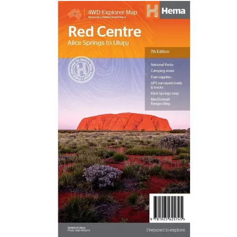
A regional map of the Red Centre (1:750,000), covering from Alice Springs to Uluru. Extensive travel and background information on specific regions including Alice Springs and surrounds, Larapinta Drive, West MacDonnell Ranges, East MacDonnell Ranges, the Old Ghan Route, Kings Canyon and Watarrka National Park and Uluru-Kata Tjuta National Park.
Also included are maps of Alice Springs and Uluru-Kata Tjuta National Park, with the latter also including the walking tracks available in the national park.
features
- Waterproof map
- GPS surveyed road & tracks
- National Parks
- Fuel stops
- 4WD tracks
- Camping areas
- Historic sites
- Detailed inset maps
specifications
Product Format: Folded Map
Barcode: 9781925625745
Unfolded Size (WxH): 835 x 500mm
Cover Size (WxHxD): 140 x 250 x 3mm
Weight: 0.05kg
Scale: 750000
Edition: 7
Publication Date: 2019
Publisher: Hema Maps