

SKU: 9321438001614PLU: 146917UPC/EAN: 9321438001614
Hema Top End and Gulf Map - Waterproof - Edition 7
$13.90
Save $2.05 (12%)RRP $15.95
Removed from Wishlist
or pay nothing today with

- Delivery
- In-Store
- Click & Collect
- description. press to scroll to the description section.
- features. press to scroll to the features section.
- specifications. press to scroll to the specifications section.
- reviews. press to scroll to the reviews section.
description
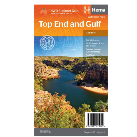
A regional map of the Top End and Gulf for discovering the region by 4WD. Combining with the main map are inset maps of the Darwin region, Gregory National Park, Nhulunbuy, Keep River National Park and Boodjamulla (Lawn Hill) National Park. There is additional tourist information for Arnhem Land, the Roper River trek, Darwin region, Douglas-Daly district, Natures Way, Victoria Highway, Katherine Region and the Stuart Highway Region. Marked on the map are camping areas, GPS surveyed roads and tracks, fuel, and more information for 4WD tourers.
features
- GPS surveyed roads and tracks
- Detailed national park inset maps
- Camping areas
- Fuel
- What to see and do
specifications
Cover Size:140 x 250 x 3 mm
Unfolded Size:1000 x 700 mm