

SKU: 9781921886096PLU: 136845UPC/EAN: 9781921886096
Rooftop Jamieson - Licola Map - Edition 3
$12.95
Removed from Wishlist
or pay nothing today with

- Delivery
- In-Store
- Click & Collect
- description. press to scroll to the description section.
- features. press to scroll to the features section.
- specifications. press to scroll to the specifications section.
- reviews. press to scroll to the reviews section.
description
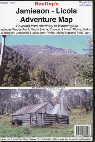
The Jamieson - Licola Map covers from Goughs Bay, Jamieson and the Howqua River in the north to the Upper Thomson, Aberfeldy and Licola in the south. It includes Woods Point, Mount Skene, Alpine National Park, Wellington, Jamieson, Macalister and Thomson Rivers, Connors and Howitt Plains.
The reverse side of the Jamieson - Licola Map is a scale of 1:50,000 titled "Jamieson - Sheepyard Flat Forest Activities Map.
features
- Track classifications
- Camping and facility symbols
- Fishing spots
- GPS coordinates
specifications
Scale: 1:100,000
Dimensions: 130mm x 240mm x 2mm
Weight: 100g