

SKU: 9780980737592PLU: 136828UPC/EAN: 9780980737592
Spatial Vision Otways East - Surfcoast Map
$9.00
Save $5.95 (39%)RRP $14.95
Removed from Wishlist
or pay nothing today with

- Delivery
- In-Store
- Click & Collect
- description. press to scroll to the description section.
- features. press to scroll to the features section.
- specifications. press to scroll to the specifications section.
- reviews. press to scroll to the reviews section.
description
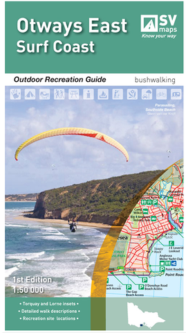
The new map of the eastern Otways Range provides detailed topographic information of the region to aid in exploring the region and the many recreational features on offer. There are numerous long and short walks available and the map provides detailed walk notes on each, in particular the popular Surf Coast Walk. Detailed inset maps of Torquay and Lorne also highlight the many walks and recreation features around each town.
features
- Selected walking tracks with varying levels of difficulty, distance and duration
- Major recreation facilties, parks and forests
- GPS references for major locations
- Detailed history of the region and local flora & fauna
specifications
Scale: 1:50,000
Coverage: Torquay, Anglesea, Aireys Inlet, Lorne, Deans Marsh and Birregurra
Size (Folded): 135mm W x 250mm
Size (Unfolded): 750mm W x 945mm